St Bees is the start of the Wainwright Coast to Coast Walk,
devised by Alfred Wainwright in 1973
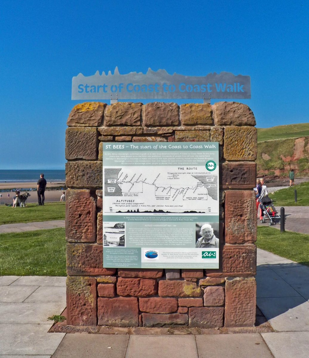
The "Wainwright Wall"
The start of the Wainwright Coast to Coast Walk is at the “Wainwright Wall” next to the Lifeboat Station. There is an information board and a distinctive steel banner modelled on the walk’s gradient profile.
A few yards away is the boat ramp where you access the beach to dip your boots in the water – as Wainwright suggested in his guide. Be sure to do the same at Robin Hood’s Bay. Now you start the spectacular walk along the sea cliffs – Westwards to start with!
Coast-to-Coasters – If setting out from the village centre and you have time, visit St Bees Priory and its extensive history displays, including the original Wainwright Coast to Coast board. The St Bees History Group can offer short talks, including the story of St Bees Man, by prior arrangement. Contact Chris Robson on 01946 822468 (email: icrobson1938@gmail.com).
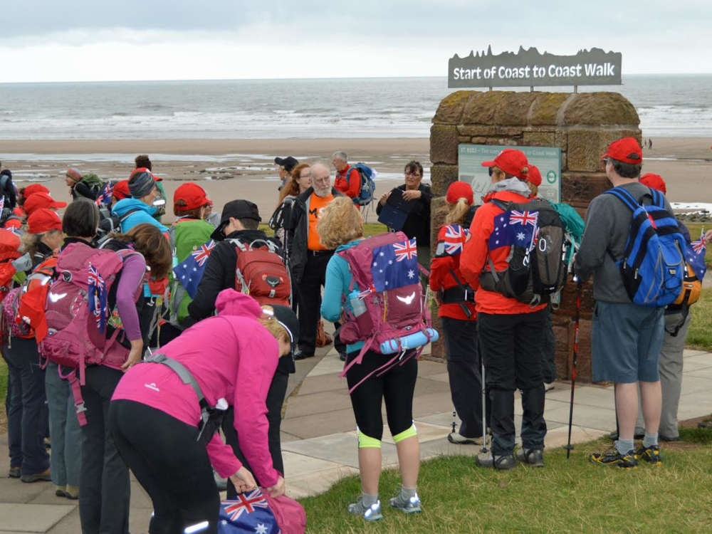
The Coast to Coast Walk is popular with groups.
Parish Circular Walks
A collection of eight circular walks, starting and finishing in the village and following public footpaths, the ECP, and quiet roads, has been created by the Parish Council, and first issued in 1997.
They are available in print from St Bees Post Office or as a pdf download from this page. They have all been revised in 2021, and No.8, a walk around the parish boundary, has been added.
The guides contain maps of the routes and describe the historical and geographic features to be seen.
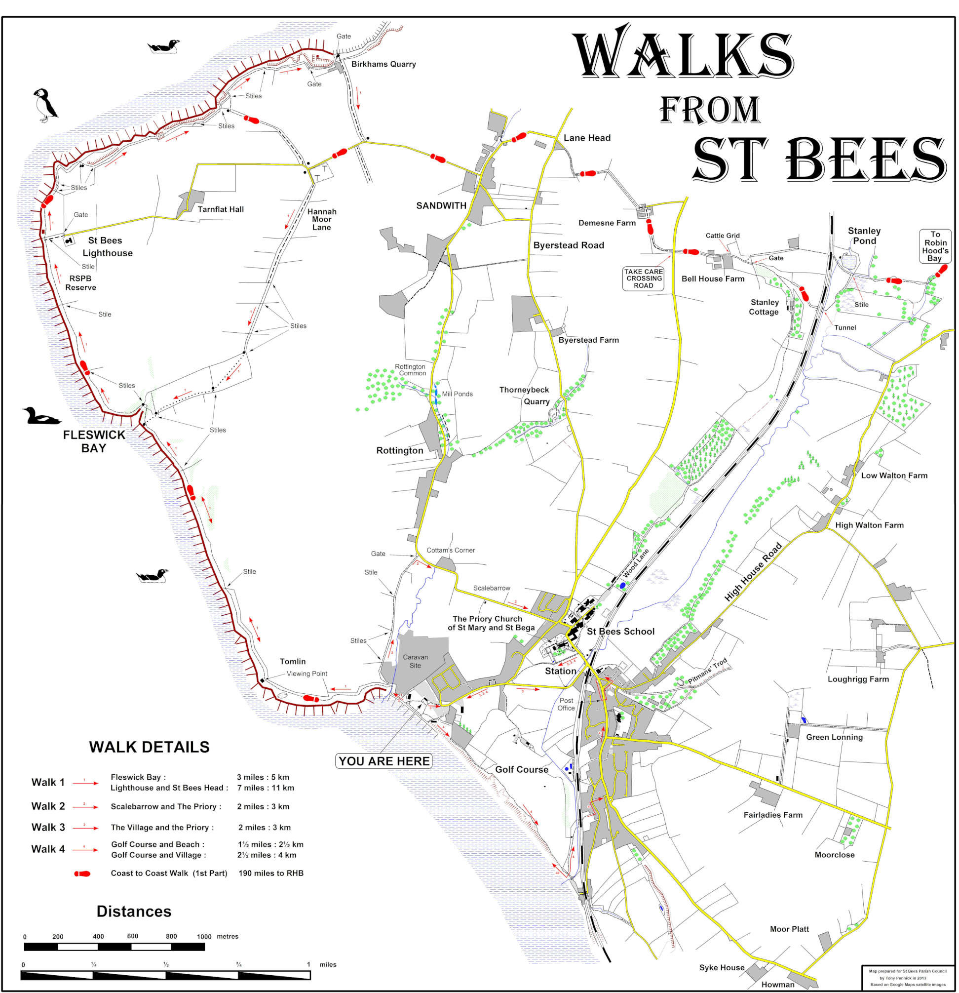
There is large walking map “Walks from St Bees” in the Main Beach shelter for the Heritage Coast . It can be downloaded from image below.
Download the parish walks leaflets from here
Adobe pdf versions are available to download by clicking on links below. All walks revised May 2021. They print out at A4 size and can be folded A5 for convenience.
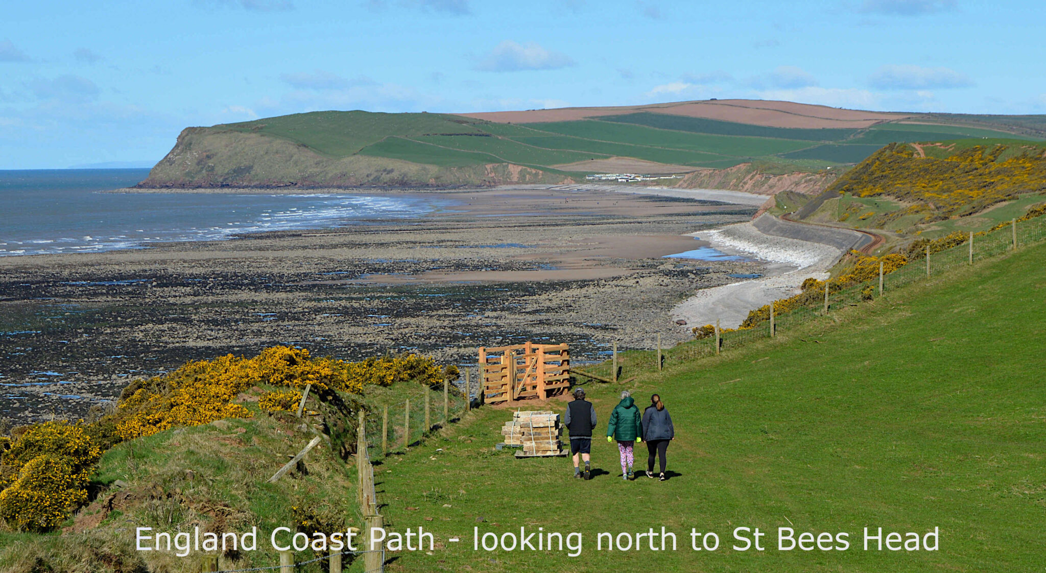
Opened in 2021 the ECP is officially open from Whitehaven To Silecroft; it is a National Trail constructed and managed by Natural England. It starts from Whitehaven and follows the cliff edge to St Bees Promenade. From there it goes south along the cliff edge behind the tea rooms to a fingerpost, where it goes inland to the golf clubhouse. From there it follows Pow Beck to Seamill. The customary path alongside the golf course cliff edge remains open and can be used as an alternative route, but is not part of the ECP.
South from Seamill car park the ECP goes under the railway and immediately to the right to Lovers Lonning, where it branches off to Primrose Valley following the landward side of the railway line. This is a spectacular portion of the coast, which has not had public access until this year. South of St Bees the route goes to Nethertown, and eventually to Silecroft.
PLEASE KEEP DOGS UNDER CONTROL on all walks through fields with livestock.